There are some of us who get lost when walking a straight line, whose only true North is the child of Kim and Kanye, and can’t find our table at a restaurant after going to the bathroom. We like to call ourselves “directionally-challenged.” And while getting lost is an every day occurrence, add in the variable of a new city and we’re pretty much hopeless.
Keyword is “pretty much.” Thank goodness for technology to help our shortcomings and general poor sense of direction. Whether you’re away for an internship, studying abroad, or traveling this summer, we’re breaking town the top navigation apps to download stat in order to avoid those dreaded circles around town.
Apps
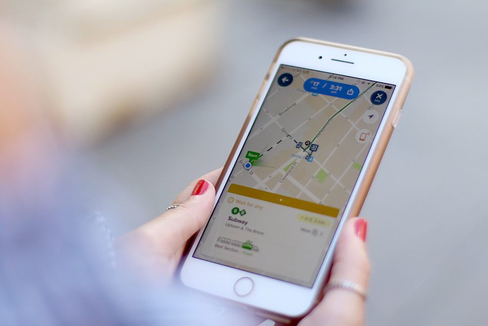
Citymapper– Citymapper allows you to pick one of thirty-nine different cities. This app however is geared more towards commuters and city frequenters, because it does not provide information about tolls or traffic. It does notify you immediately when the train you’re taking leaves and how long specific legs of the journey will be. A neat feature that Citymapper offers a tip on the best section of a train to board that you would most likely find a seat.
About:
- – Built for commuters and their daily needs. One single app for all the different use cases and challenges of city life.
- – A to B directions that humans actually use in cities. Live/real-time routing that updates every minute. The future of multimodal.
- – Includes data from many others including Google, Apple and OpenStreetMaps, Foursquare and Yelp, Uber and Hailo, Car2Go and Autolib, and more.
Maps on your iPhone, iPad, or iPod touch– Maps has evolved so much since the first generation iPhone. It provided step by step directions though out your course and gives you a selection of different routes and trains to take. It also notifies you if there are any delays or trains down. This has been my personal go to app while in New York City because it’s quite user friendly.
About:
- – Provides the ability to choose drive, walk, transit, or ride.
- – You can use markers to mark your current location. You can also drop a marker to show the distance from one location to another.
- – Helps avoid tolls and highways, and see traffic in your area.
Mapway Apps– Whether you’re going to Washington, Chicago, New York, London, Paris, or Toronto, Mapway Apps has a range of apps that put you in control of your journey. It cover 23 of the busiest cities in the world–helping you to plan journeys, check travel information and avoid delays.
About:
- – Is geared specifically towards public transportation including bus, train, tube, metro and subway systems
- – Provides detailed routes of train lines and routes.
- – Includes detailed, easy to read maps of various metro systems.
*When using your phone for directions, don’t forget to look up and take in the beautiful surroundings!*
Wean Yourself Off the GPS
Gearing away from apps can help enhance your sense of direction. We’ve included some ways to help with this:
Memorize Directions– Memorize directions to places you go on a regular basis from where you are staying. For example, know how to get to your internship office by both the metro system and walking. By the time you do it enough times, you are bound to get it engraved in your brain. Knowing the exact route to a regular location allows you to become familiar with the places in-between, allowing you to learn other locations in the process. 
Ask for Directions– I know I hate asking for directions, but locals are a lot more willing to assist than you think! Sometimes it can actually be easier than following a GPS, especially if you are rather close in proximity.
Use Your Surroundings– Using major landmarks or familiar locations helps so much when trying to navigate a big city. For example, whenever I get off the subway coming home, I immediately look for the Glossier Showroom to know what direction to walk. We tend remember images, brands, and even color more than street names. 
Just Walk– This is the easiest, most relaxing way that you can enhance your sense of direction. Find a day that you have nothing else to do, find a major road, and just walk. You get a better sense of where locations are by doing this than looking at a map. Look for what roads run parallel to each other as well.
Any other apps that help you navigate your new surroundings? Let us know in the comments below!

